
|
 |
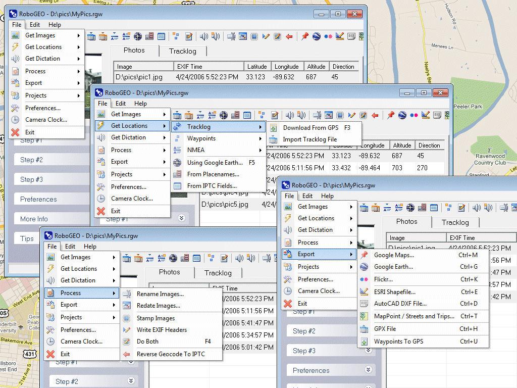
RoboGEO
|
 |
|
|
|
|
|
|
Версия: |
1.0 |
| Автор: | TimTech Computer |
| Лицензия: | Demo |
| Скачать |
Цена: | $22.95 |
Описание:
Georeference digital images with latitude, longitude, and altitude information. RoboGEO stamps this information onto the actual image and writes it to the JPG's EXIF headers, allowing you to permanently geocode and link the digital photo to the GPS coordinates. Now you can know WHERE a given photo was taken. RoboGEO works with any digital camera that produces EXIF format images (virtually all do) and includes direct support for Garmin GPS units, but no GPS is actually required. RoboGEO can import G7ToWin tracklog files for interfacing with other GPS makes and models. Very easy to use. Perfect tool for hikers, boaters, realestate agents, and geocaching. Low cost. Extensive on-line documentation.
Скриншот:
|
|
|
|
|
|
|
|
 |
Афоризм
|
 |
|
|
|
Он так долго об этом размышлял, что уже начал это проповедовать.
М. Пруст
|
|
|
|
|
Анекдот
|
|
|
|
|
Мудреца спросили:
-- Чем ты отличаешься от большинства людей?
Мудрец ответил:
-- Они живут для того, чтобы есть, а я ем для того, чтобы жить.
|
|
|
|
|
Прикол
|
|
|
|
|
Молодость дается лишь раз. Потом для глупостей нужно подыскивать какое-нибудь другое оправдание.
|
|
|
|
|
|